A Seismic Oil and Gas Primer

Outline of A Seismic Oil and Gas Primer

What Is Seismic Data?

Seismic Data

Seismic Data

What Is Seismic Data? Types of Seismic Data Explained.

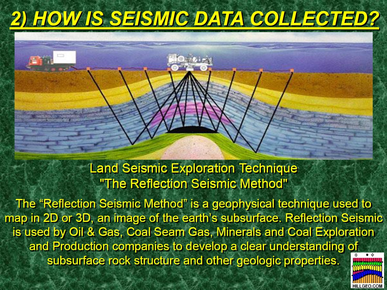
How Is Seismic Data Collected?

How Is Seismic Data Collected?

A Seismic Crew Collects Data in the Field

Snell's Law at Work

Geophones and Receiver Boxes

When Is Seismic Data Collected?

How Much Does It Cost to Collect Seismic Data?

How Do I Give Permission to a Company?

A Basic Seismic Permit Form

Map Showing Location of Seismic Work to Be Done

Questions Attached to the Seismic Permit Form

What Kind of Environmental Damage Might I Expect?

What Kind of Environmental Damage Might I Expect?

What Payments Should I Expect?

Do I Get a Copy of the Results of the Seismic Data?
Mineral owners with less than 640 acres (1 square mile) would not benefit from having copies of the processed 3D seismic data.
Owners of large mineral acreage (>640 acres) may want to request a copy of the processed 3D seismic data over their acreage.

Why should I allow seismic data to be collected on my property?

Seismic Data Give the Explorationist a Picture of the Geology of the Subsurface

Why does a company need to collect seismic data on my land for the Haynesville Shale?

3D Data Plus New Processing Algorithms Generate Clear Images of the Subsurface

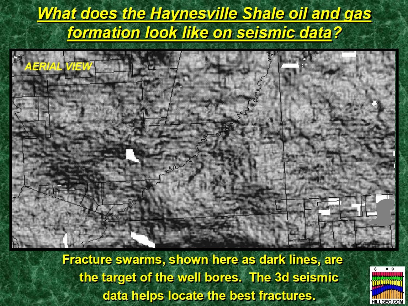
What Does the Haynesville Shale Oil and Gas Formation Look Like on Seismic Data?

What Does the Haynesville Shale Oil and Gas Formation Look Like on Seismic Data?

The Geologist's and Geophysicist's Job Is to Fill in the Gap between Wells


